


GeoLand
GIS · Cadastre · SurveyingFrom the field to decision-making, without breaking between surveying, CAD and GIS.
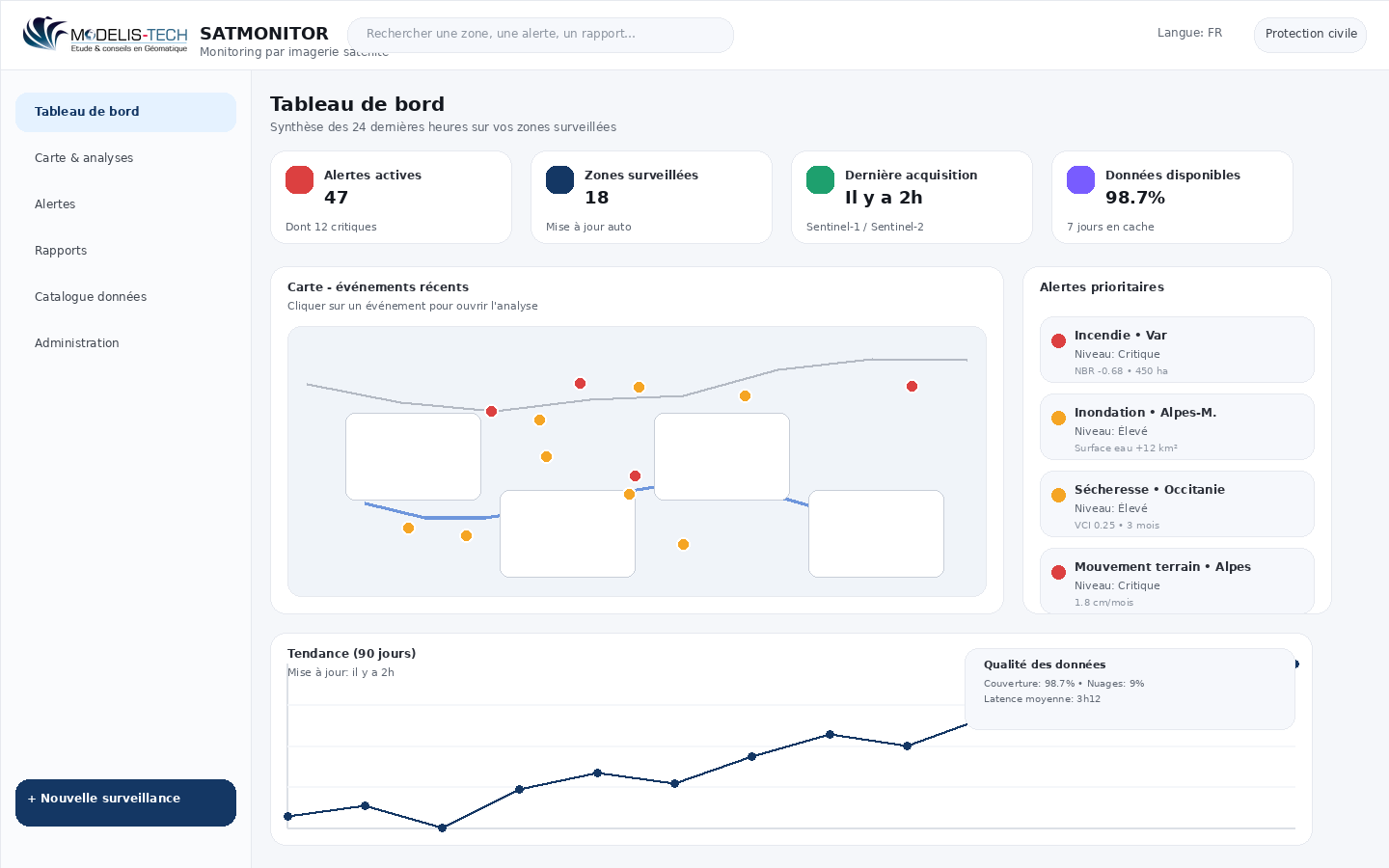
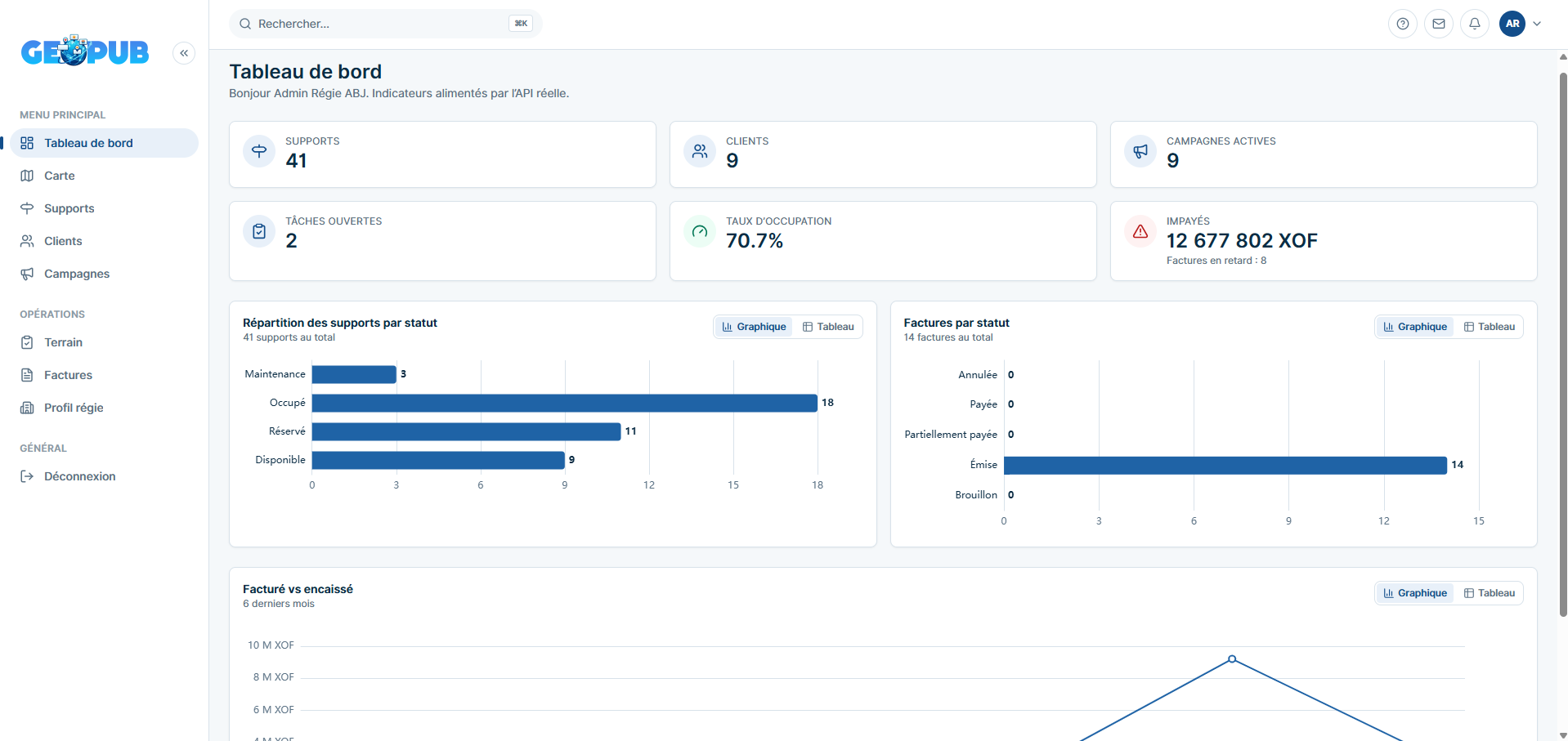
GeoLand is a professional geospatial platform to produce, structure, analyze and unlock topographic, cadastral and land data in a unified cloud environment.
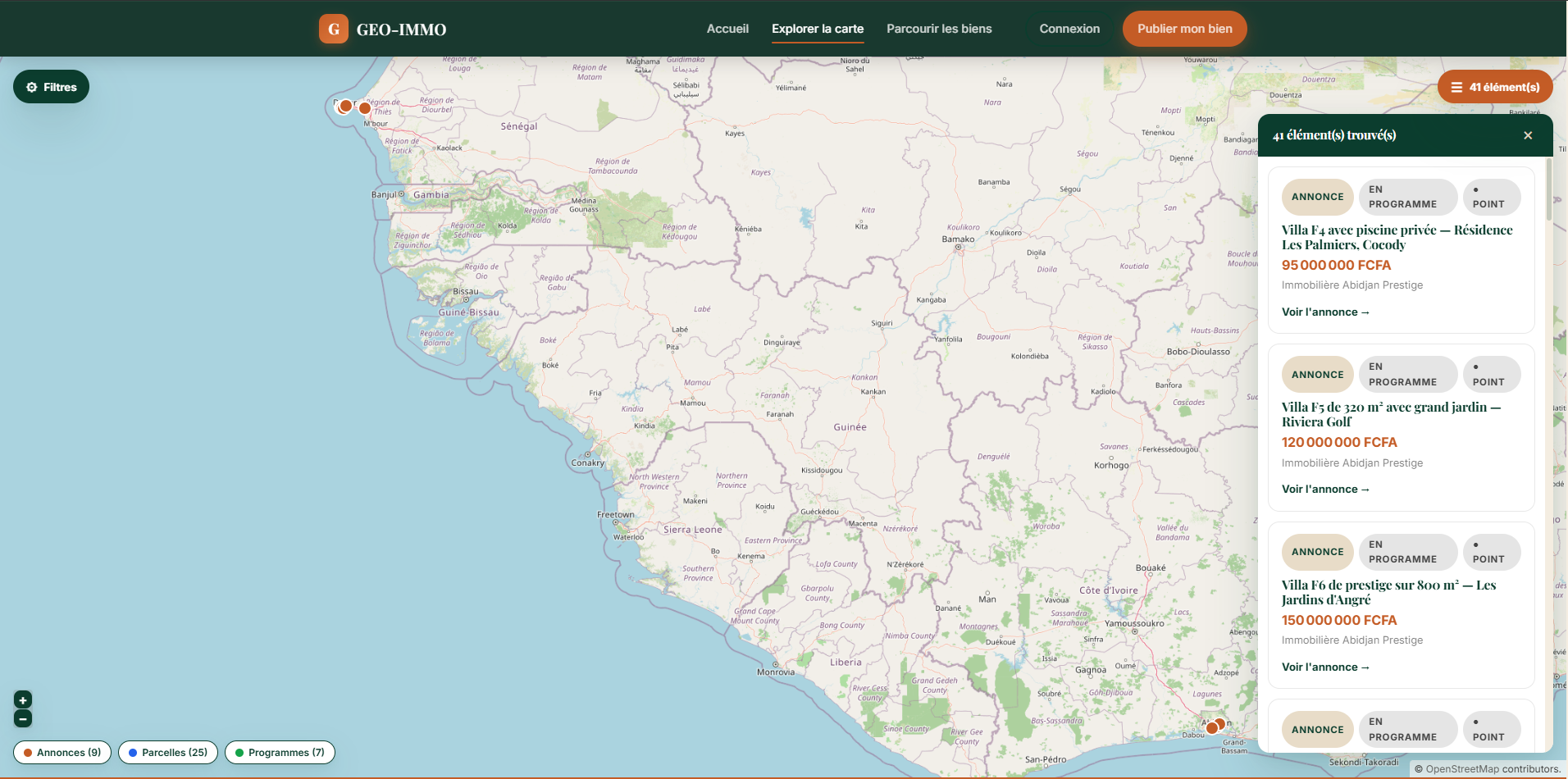
- Interactive map and business layers
- Cadastral management of parcels, markers and buildings
- Surveying calculations and spatial analysis